 Click here to view screen-resolution image - 45K
Click here to view screen-resolution image - 45K
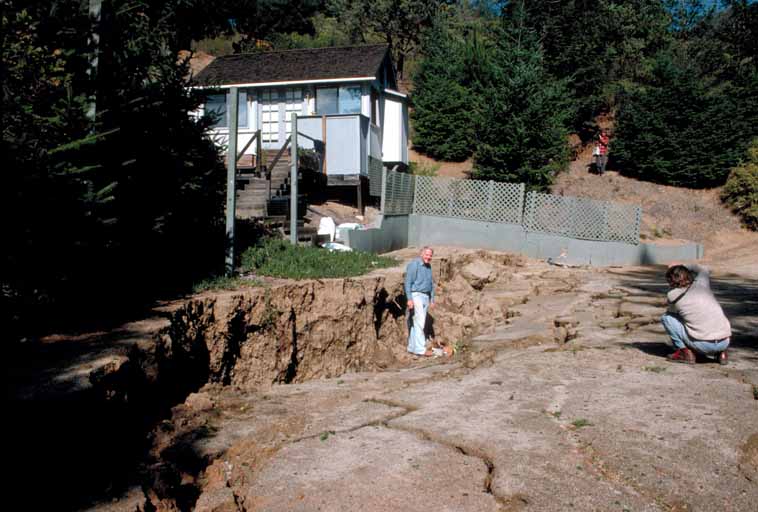
Click here to view screen-resolution image - 45K55. Crack system with 1.2 m (4 ft) of vertical displacement across a clay tennis court; fracture passes across retaining wall and up slope beyond view. West of Summit Road, southeast of Highway 17. [H.G. Wilshire, U.S. Geological Survey]
 Click here to view screen-resolution image - 45K
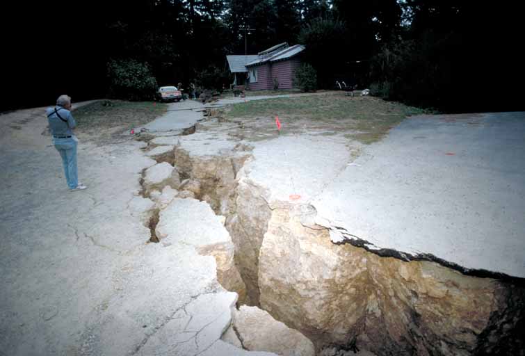
56. A crack system destroys driveway adjacent to summit road 0.8 km (1/2 mi) southeast of Highway 17. [J.K. Nakata, U.S. Geological Survey]
 Click here to view screen-resolution image - 45K
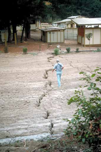
57. A geologist traces surface cracks in a corral adjacent to summit road approximately 1.6 km (1 mi) southeast of Highway 17. [J.K. Nakata, U.S. Geological Survey]
 Click here to view screen-resolution image - 45K
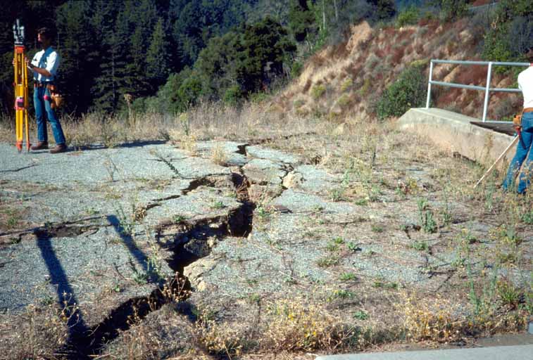
58. Northwest-trending extensional crack where dam fill settled about 0.6 m (2 ft) and pulled away from concrete spillway and north abutment of Austrian Dam. [R.J. McLaughlin, U.S. Geological Survey]
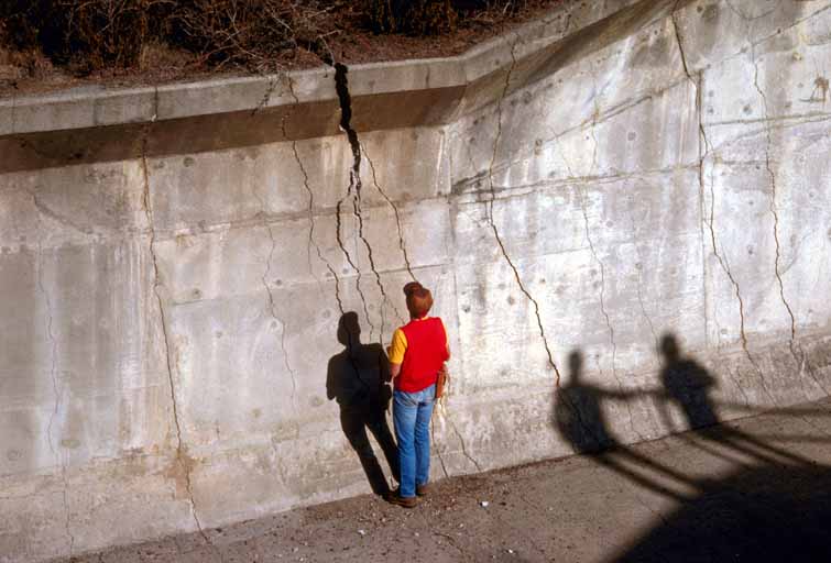 Click here to view screen-resolution image - 45K
59. Prominent northwest-trending extensional cracks up to 12 cm (4.7 in.) wide in concrete spillway to Austrian Dam, north abutment. [G.R. Fisher, U.S. Geological Survey]