
Introduction
The Bureau of Land Management, Arizona Strip Field Office, St. George, Utah, manages most of the area. In addition, there are about 8 sections managed by the State of Arizona and about 3 sections of private land in the vicinity of Clayhole Wash (U.S. Department of the Interior, 1993). Elevations below 1,372 m (4,500 ft) support a sparse growth of sagebrush, cactus, grass, greasewood brush, and various desert shrubs. At higher elevations, thick to moderate growths of sagebrush thrive in alluvial valleys and a moderate cover of pinyon pine and juniper trees are common on Seegmiller Mountain. |
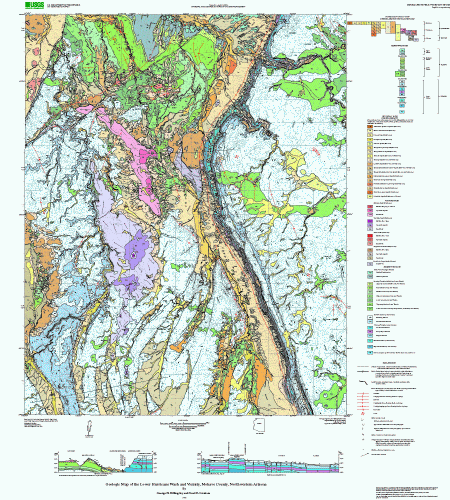 |
| Page-size version of geologic map of Lower Hurricane Wash and vicinity. |
| File
Name |
File
Type and Description |
File
Size |
| README's
and METADATA |
||
| Text version of readme file that explains how to use the digital database |
16 kB |
|
| Text file of the FGDC-compliant metadata |
28 kB |
|
| DATA |
||
| Compressed tar file of the digital database for this map |
19 MB (32.8 MB uncompressed) |
|
| ArcMp style for map colors and symbolizing data |
584 kB |
|
| Shapefiles and readme describing content of each file |
7.4 MB (23 MB uncompressed) |
|
| FILES
for VIEWING and PLOTTING |
||
| PDF file of pamphlet to accompany this map | 560 kB | |
| ASCII text version of map pamphlet | 80 kB |
|
| Compressed tar file of PostScript file used for plotting a paper copy of the map | 89 MB (89.7 MB uncompressed) |
|
| PDF file of map sheet that can be used for viewing map in a browser, as well as for plotting | 17
MB |
|
For questions about the content of this report, contact George Billingsley
Download a current version of Adobe Reader for free
| Help
| PDF help
| Geopubs main page | Miscellaneous Field Studies |
| Geologic Division |
Earth Surface Processes |
This report is available via print on demand.
| U.S. Geological Survey | Privacy Statement | Disclaimer | Accessibility |
URL of this page: https://pubs.usgs.gov/mf/mf/2003/2396/
Maintained by: Michael Diggles
Last modified: June 4, 2007 (mfd)