
 |
|
Files Available for Download
|
||
|
File Name
|
Description
|
Size
|
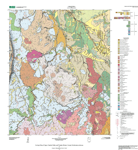
| cvmap.eps | EPS plot file of the map sheet |
125 MB
|
| cvmap.pdf | PDF plotfile of the map sheet |
12.3 MB
|
| cveps.zip | WinZipped package of the EPS map sheet |
17 MB
|
| cvdb.zip | WinZipped package of all files necessary to recreate the Arc/Info database. Included is an AML called import.aml that will automatically import the ARC export files |
12 MB
|
| clayholevalley.style | ArcMp style for map colors and symbolizing data |
632 kB
|
| Mf2418_shapefiles.zip | Shapefiles and readme describing content of each file |
10.7 MB
|
| MF2418met.txt | FGDC compliant metadata for the database |
36 kB
|
cvpdf.zip |
WinZipped package of 3 PDF files, one of the map sheet, one of the pamphlet with database readme appendix, and one of only the database readme appendix |
10 MB
|
| cvreadme.pdf | PDF version of the instructions for the digital database |
28 kB
|
| cvgeo.pdf | PDF of the pamphlet with readme appendix |
164 kB
|
| cvgeo.txt | Text version of the pamphlet with readme appendix |
88 kB
|
For questions about the content of this report, contact George Billingsley
Download a free copy of the current version of Adobe Reader
| Help | PDF help | Geopubs main page | Western MF-maps |
This report is available via print on demand.URL of this page:
https://pubs.usgs.gov/mf/2003/2418/
Maintained by: Michael Diggles
Last modified: June 4, 2007 (mfd)
| Privacy Statement | Disclaimer
| Department
of the Interior | U.S. Geological Survey
| Geologic Division | Earth
Surface Processes |